Brace for an icy blast
Arctic air mass moves through area, bringing single digits
Weather forecasters are predicting some of the coldest temperatures in the region Wednesday and Thursday, with the mercury dipping well below zero.
Charlotte Dewey with the National Weather Service in Spokane reviewed the week’s forecast during an online briefing Monday.
“It’s been quite some time since we’ve seen (these) drastically cold temperatures,” Dewey said.
As an arctic air mass moves south, Grangeville and the surrounding area is expected to hit minus 18 degrees Wednesday with wind chill factors of minus 30 degrees. Thursday’s high is predicted at minus 2 degrees and a low Thursday night of minus 8.
Temperatures on the Palouse are forecast to be 8 degrees below zero Wednesday night with a high Thursday of 7 degrees and a low of 1 degree.
The Lewiston-Clarkston Valley will hit zero degrees Wednesday night, and Thursday there will be a high of 13 degrees and a low of 8 degrees.
Dewey warned that the wind chill conditions are “very dangerous and could pose hazards for outdoor activities and animals.”
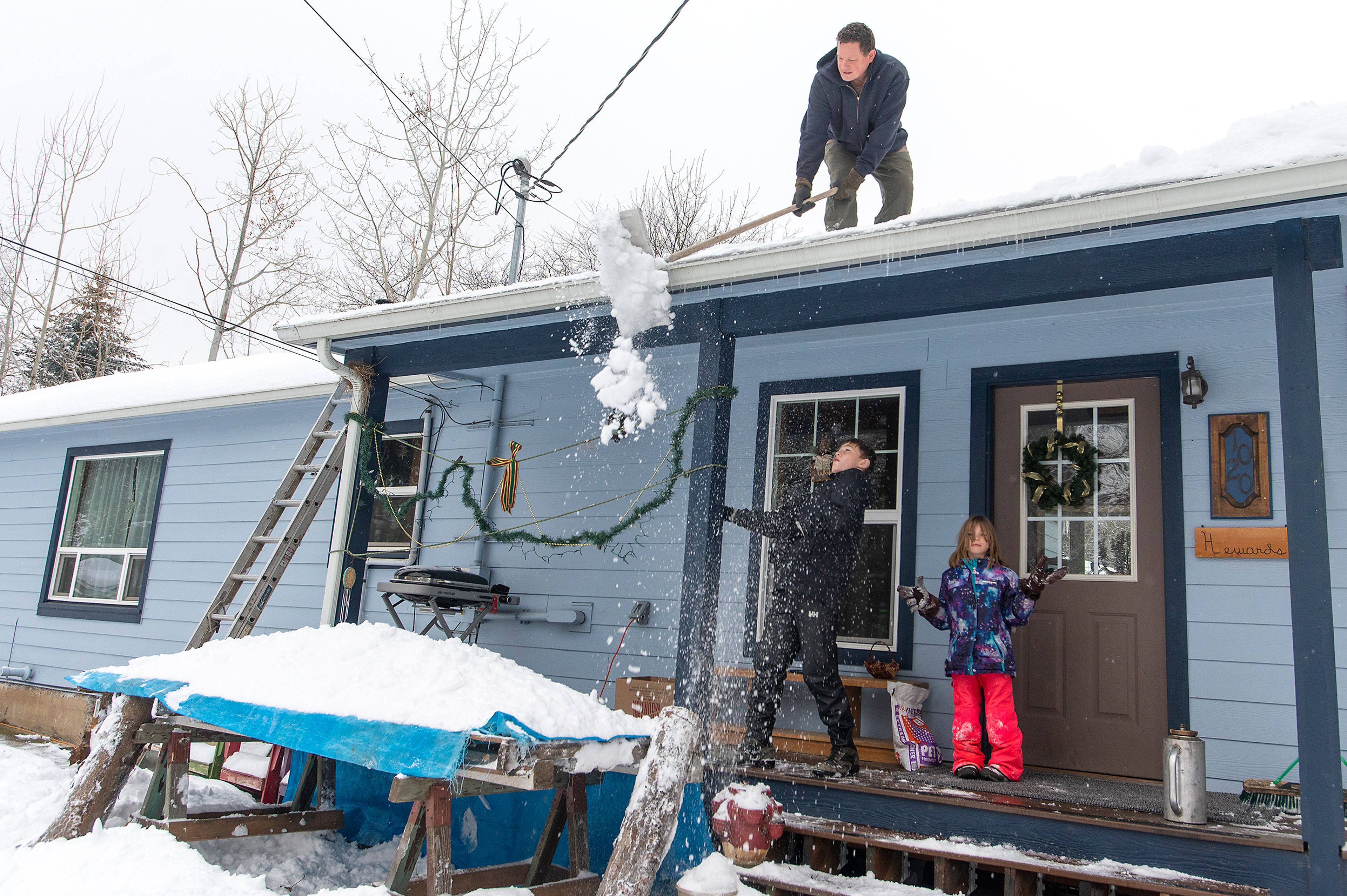
Snowfall in the area is expected to be light to moderate, with 2 to 3 inches in the Lewiston-Clarkston Valley, 3 to 4 inches on the Camas Prairie and a possibility of up to 10 inches on the Palouse.
Forecasters are expecting temperatures to warm toward the end of the week, bringing freezing rain Saturday and Sunday.
The eight- to 14-day forecast is expected to bring warmer temperatures and a possibility of freezing rain. The snowpack in the region, Dewey said, is unusually deep for this time of year and the added moisture could trigger flooding in rivers and streams throughout the area.
“We’re keeping a close eye on the warming trend late next week,” she said.
Hedberg may be contacted at khedberg@lmtribune.com.


