DAYTRIPPING: Recreation abounds behind massive Dworshak Dam
This story was originally published in our Daytripping section on May 19, 2022.
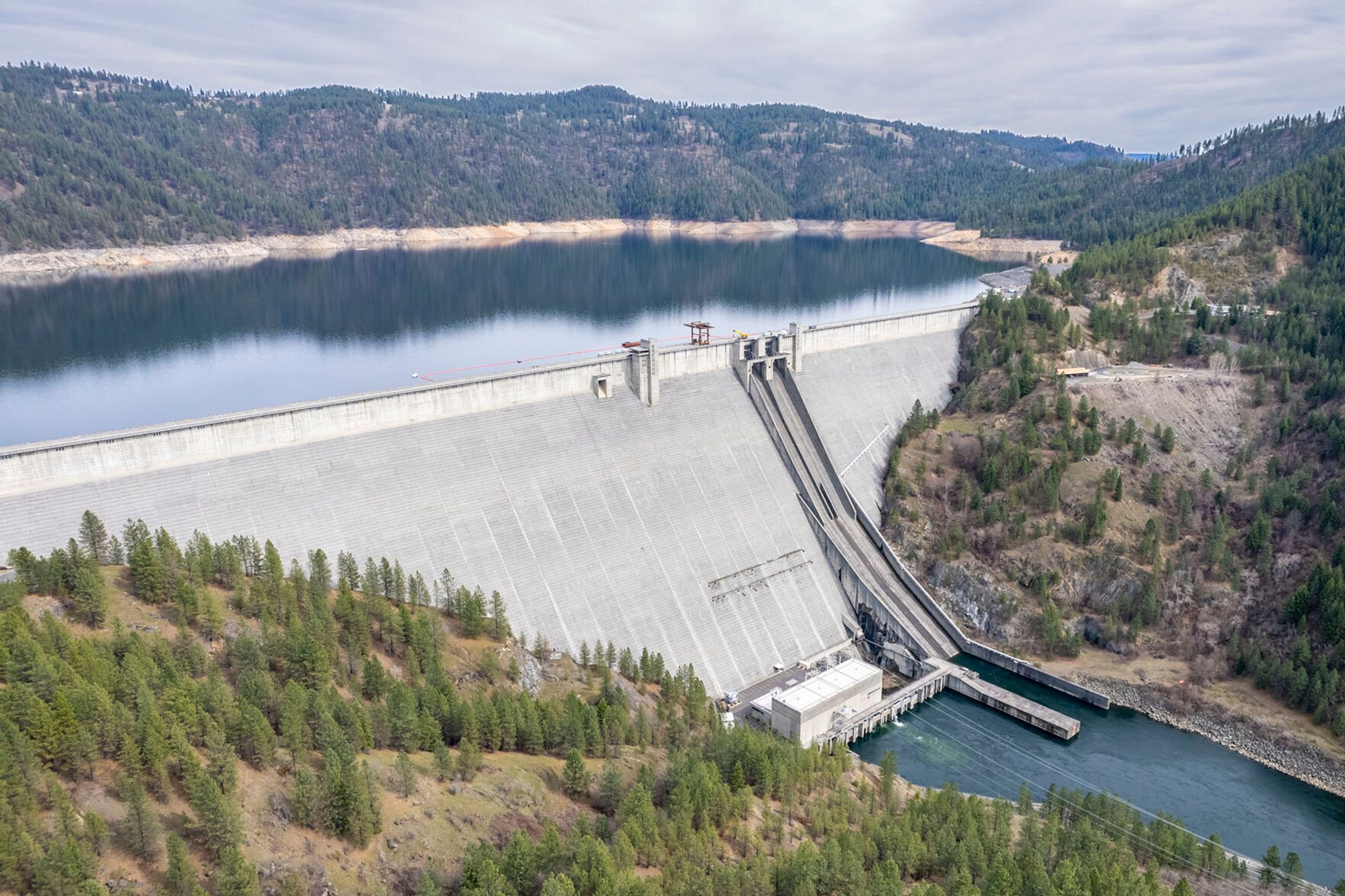
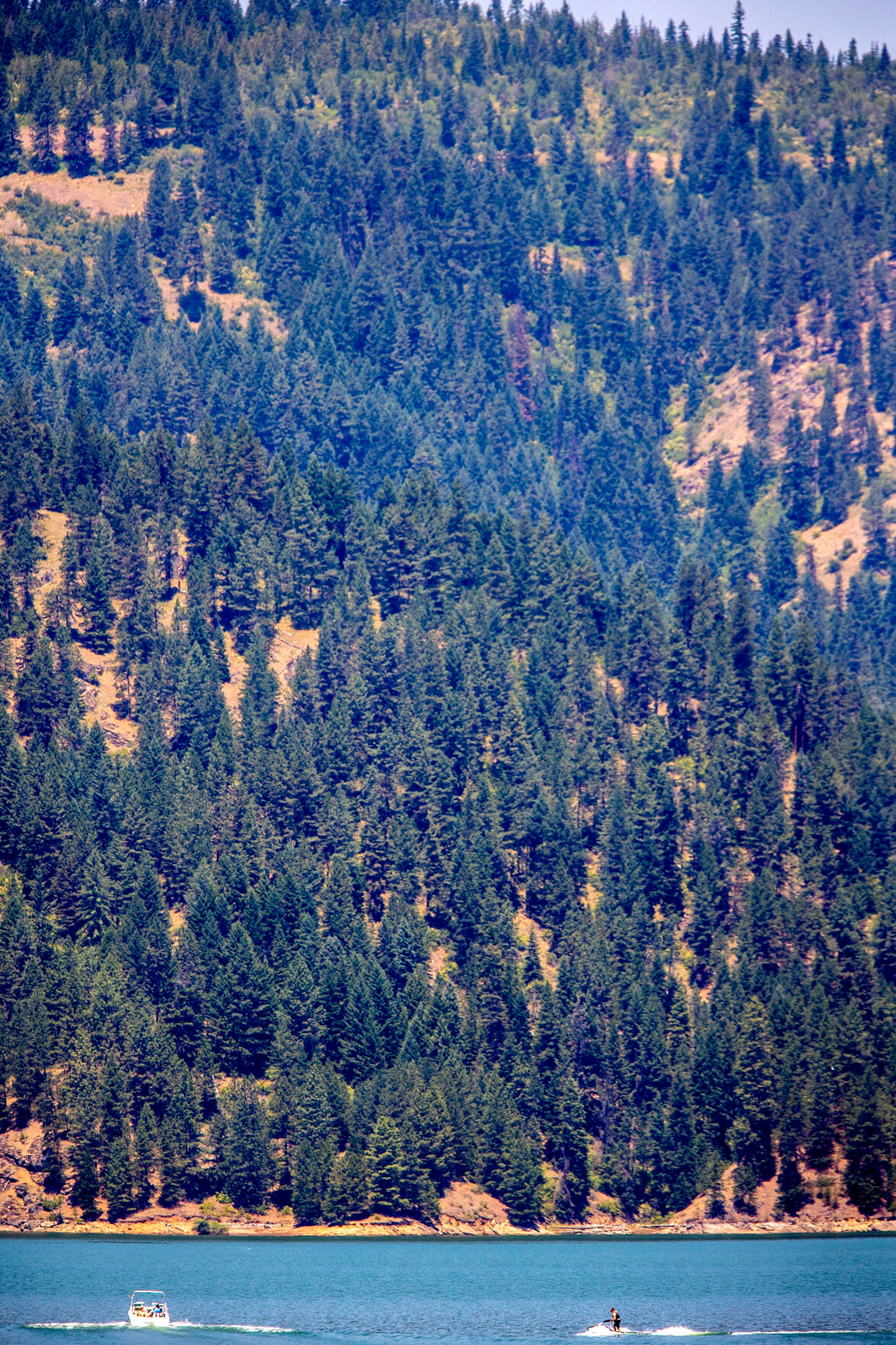
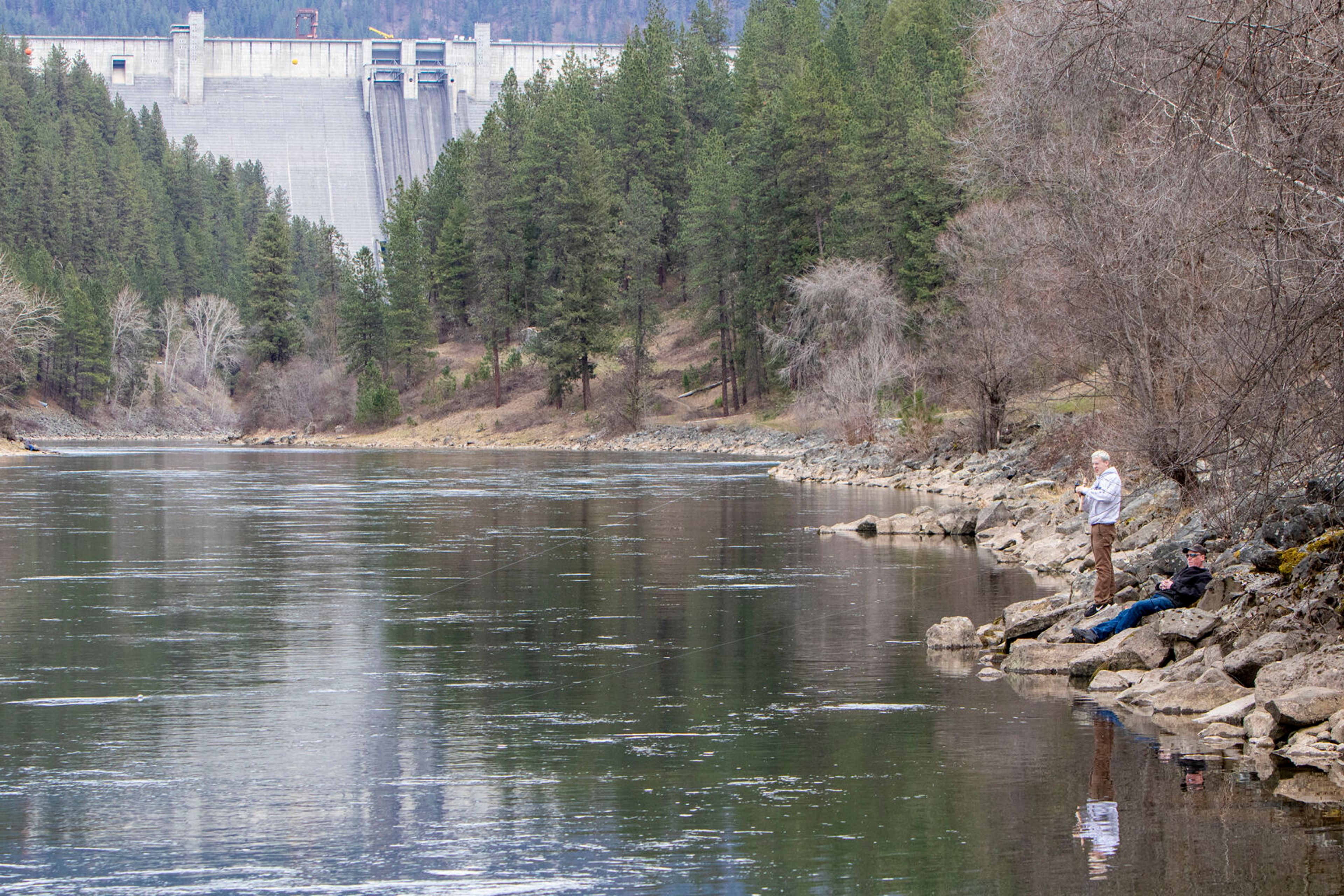
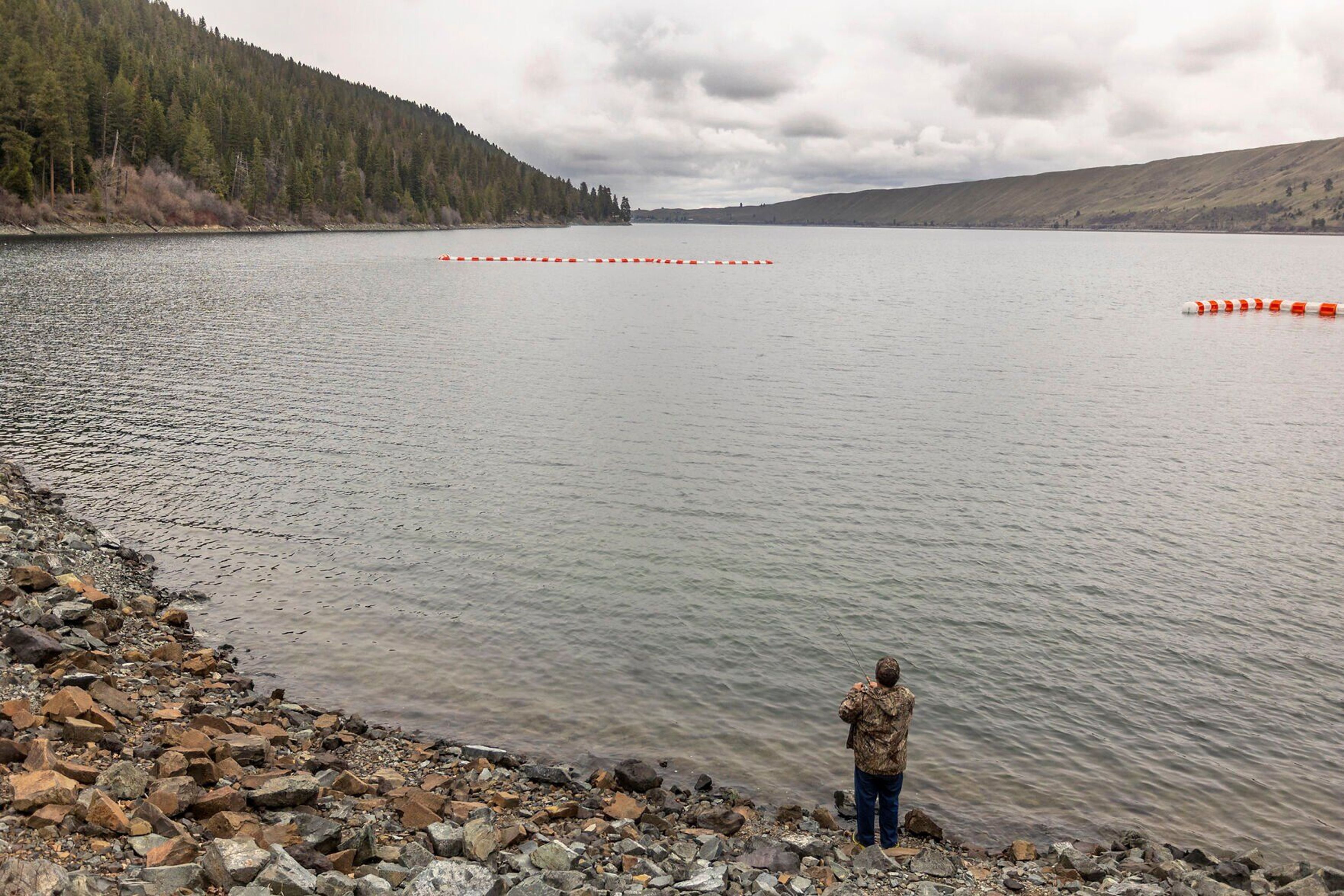
Among the trees and meadows near Orofino lies the Dworshak Dam and Reservoir, a haven for boaters, campers, hikers and anglers alike.
The dam, located on the North Fork of the Clearwater River about 35 miles east of Lewiston, is the highest straight-axis, concrete gravity dam in North America and the largest of its type ever constructed by the Army Corps of Engineers, according to the Corps’ Northwestern Division.
The 19,000-acre reservoir extends upstream for roughly 54 miles into the Clearwater National Forest in the Bitterroot Mountains. It was created after the dam was completed in 1973.
Each summer, about 1 million acre-feet of water is released from deep below the reservoir’s surface to cool temperatures in the lower Snake River and help juvenile salmon and steelhead migrate to the Pacific Ocean.
The Army Corps of Engineers, which operates the dam, is charged with flood control, power production and providing water downstream for fish produced at the Dworshak National Fish Hatchery.
However, the fish-friendly operation lowers the reservoir by about 80 feet between July and September, cutting the summer recreation season short on the man-made lake. Those who head to the area for camping should plan to go before the end of July to avoid the muddy ring between the water and campsites, sometimes 100 feet or more.
After the Fourth of July weekend, water at Dworshak — the third tallest dam in the U.S. — can start dropping at a rate of about 2 feet per day because of the annual drawdown.
Roughly 30,000 acres of land surrounding the reservoir are used for public recreation, wildlife habitat and timber facilities. Dworshak State Park includes Freeman Creek Campground, Three Meadows Group Camp, and Big Eddy Lodge and Marina.
Many campgrounds on the reservoir are accessible only by boat. Day-use locations within the park are open from 7 a.m. to 10 p.m.
The dam’s visitor center is open five days a week during the spring, fall and winter, and seven days a week during the summer. Those seeking tour times may call the visitor center at (208) 476-1255. n
Dworshak Dam and Reservoir
LOCATION: From Orofino, travel west on Idaho Highway 7/Riverside Avenue for about 5 miles, then turn right on Viewpoint Road and drive 2.5 miles to the main parking area near the top of the dam. Boat launches are available at other spots on the reservoir.
WHAT YOU’LL DO: Touring the dam, fishing, boating, camping and hiking.
DIFFICULTY: 2 out of 5.
DON’T FORGET: Fishing gear, fishing license, swimsuits, sun screen, drinks and snacks.
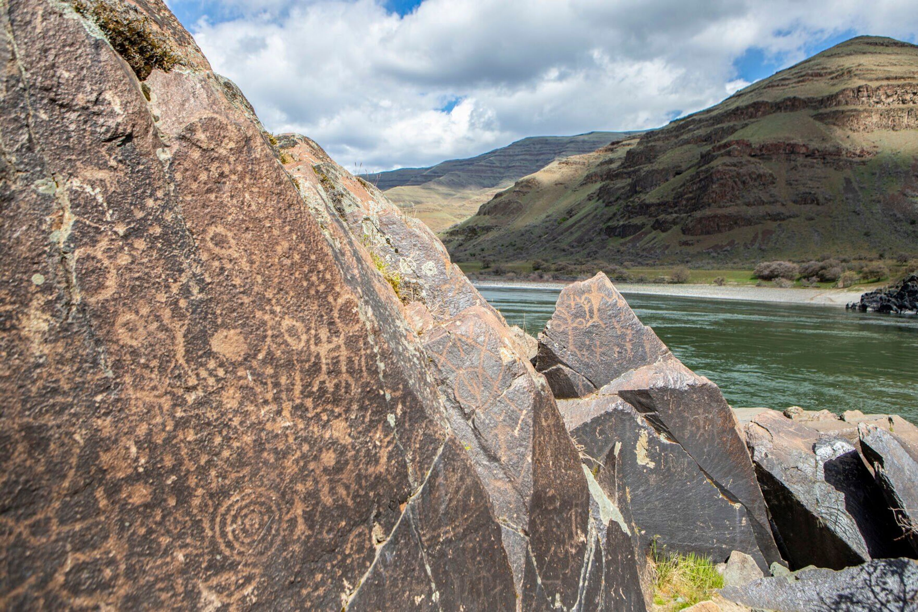
NEARBY SITES OF INTEREST: Dworshak National Fish Hatchery, Nez Perce National Historic Trail.
