Red Flag wildfire warning issued on the Palouse
GRANGEVILLE — Orogrande residents were immediately evacuated to safety Wednesday evening after Red Flag weather conditions on the Williams Creek Fire turned “squirrelly and erratic,” according to a news release from the fire command center.
The fire made a 3- to 4-miles push from the west side of Orogrande under the influence of strong, gusty winds, prompting the incident commander of the fire to order the Level 3 “Go” evacuations for safety reasons.
Firefighters disengaged and pulled back to staging areas to assess and reevaluate the fire’s progression. A large column of smoke was visible in many areas, darkening the skies above the Camas Prairie with eerie gloominess by midday Wednesday.
After about 90 minutes, the winds subsided and fire behavior died down enough to allow firefighters to return to the Orogrande community and fight the hot spots. The fire settled in the Five Mile drainage with torching and movement in dead spruce trees.
By evening, the fire made a secondary push with gusty winds blowing down dead trees. Firefighters again pulled back to staging areas for safety reasons. They remained on-site through the night to continue tackling hot spots today as they emerge.
According to the incident meteorologist, a more stable air mass will enter the area today with temperatures forecasted to be about 20 degrees cooler. Smoke may remain trapped in the valleys but northwest winds could gust up to 20 mph in some areas. That means the fire could remain active. Overnight temperatures Thursday were expected to dip below freezing with potential for rain Monday or Tuesday.
The Red Flag warning extended throughout the Palouse, Hells Canyon and Nez Perce-Clearwater National Forest areas.
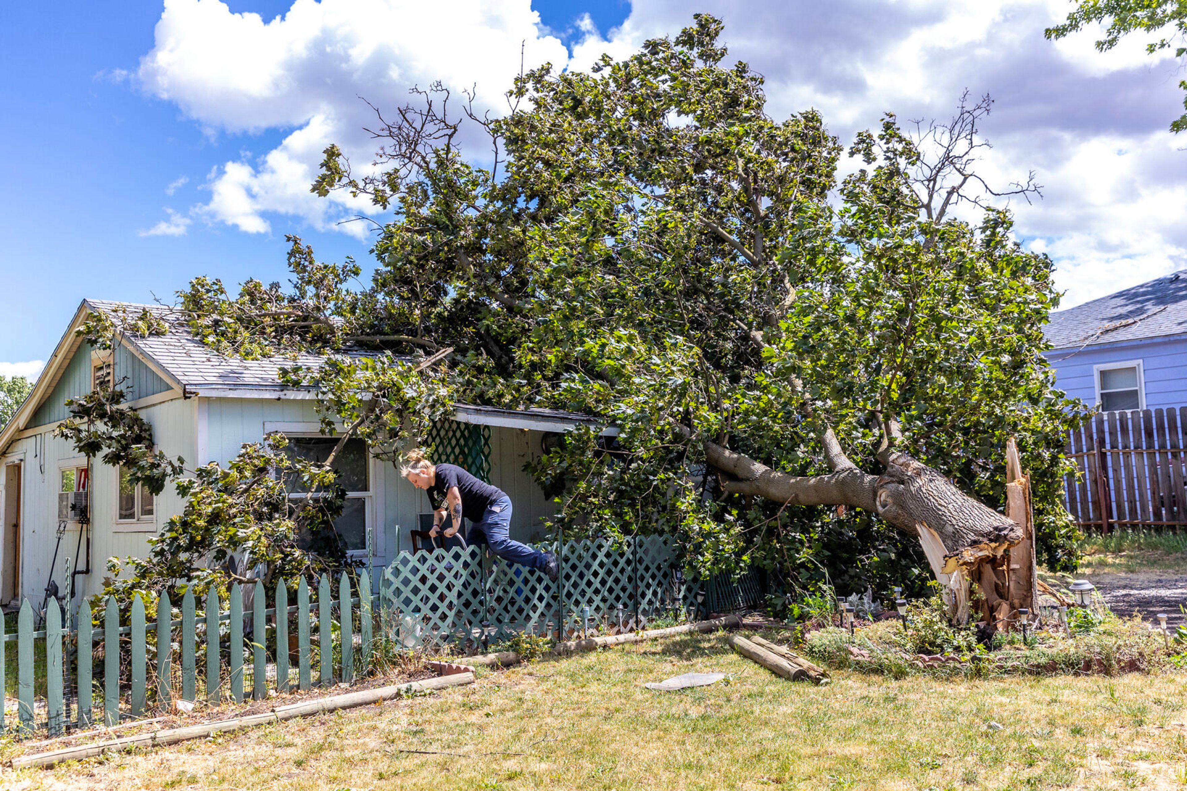
Red flag warnings are issued by the National Weather Service to inform the public, firefighters and land management agencies that conditions are ideal for wildland fire combustion and rapid spread. The combination of gusty winds and low relative humidity resulted in critical fire weather conditions across north central Idaho. Winds were out of the west/southwest at 15 mph to 25 mph with gusts up to 35 mph.
Cooler temperatures are forecasted for the coming weekend but chances of widespread precipitation are not high at this time.
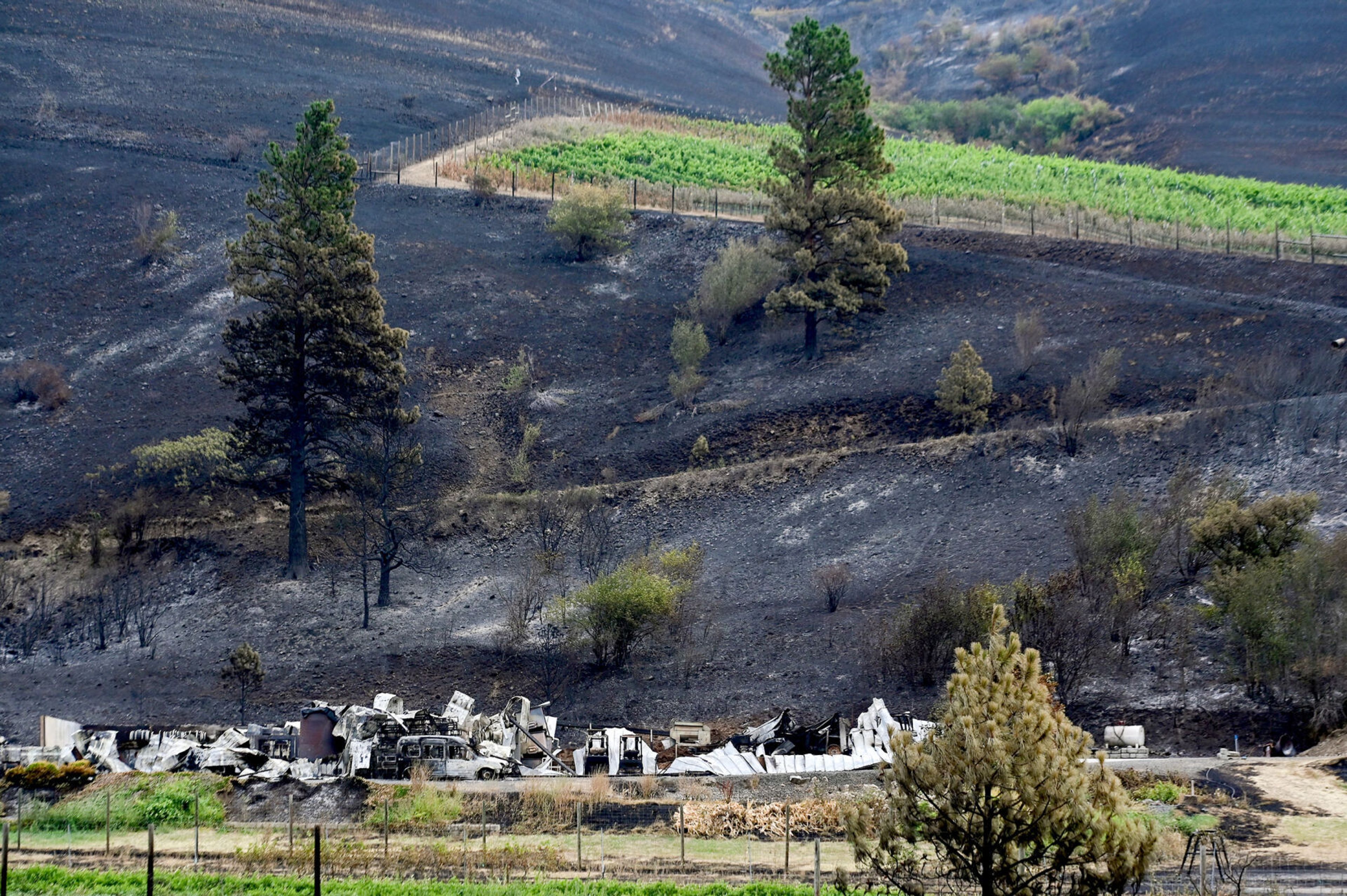
The Williams Creek Fire, 5 miles west of Orogrande, was mapped at more than 5,000 acres Wednesday and crews continue to work protecting structures using pumps, hoselays and sprinklers around the communities of Orogrande, Concord and Humptown. There are 103 personnel on the fire, including two engines, one helicopter and two hand crews.
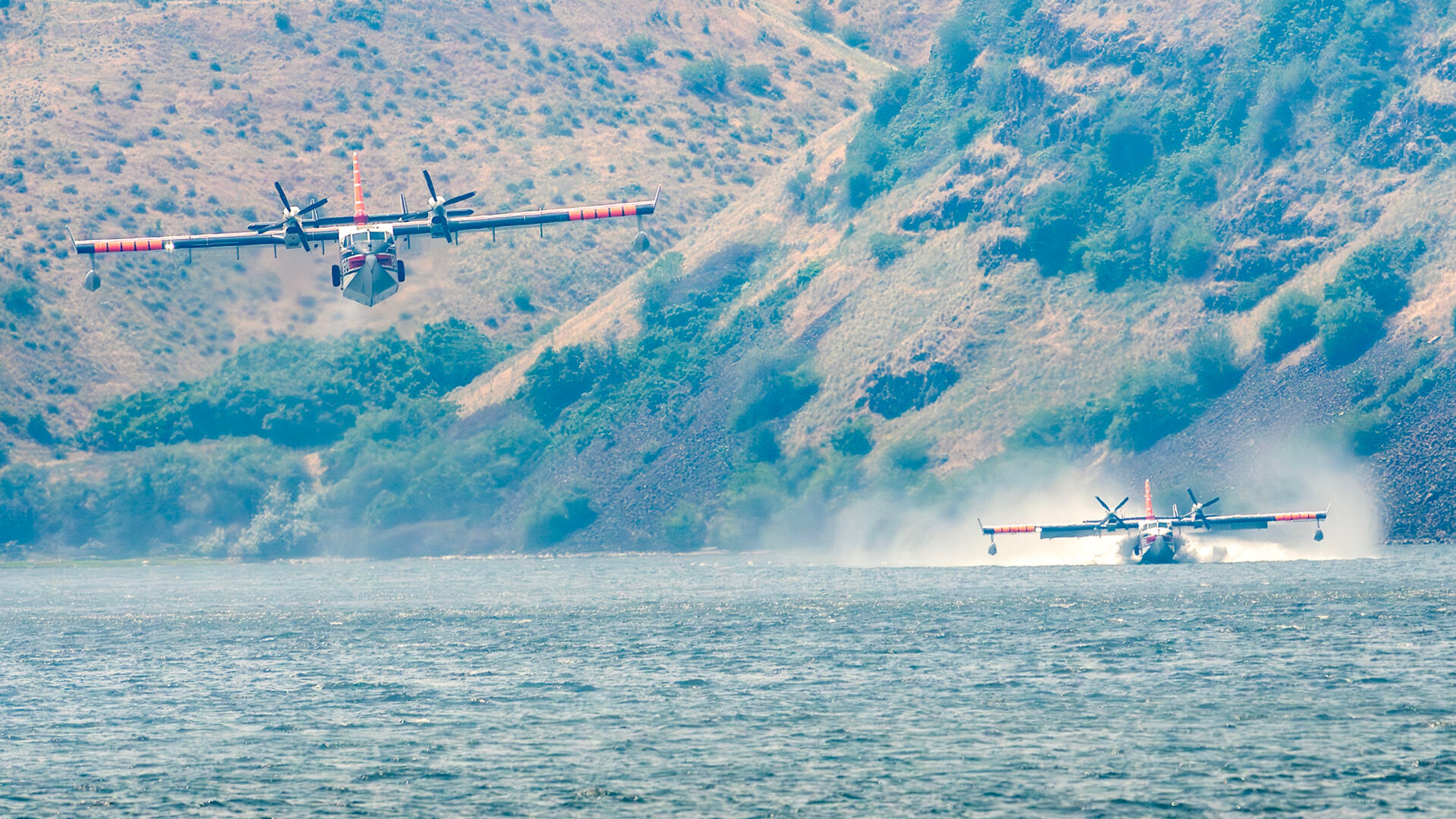
The Twin Lakes Fire 23 miles southeast of Elk City is at 871 acres with nine personnel and one wildfire module. Firefighters have completed structure protection at Square Mountain Lookout and continue to monitor fire behavior and fuels conditions. A helicopter dropped buckets of water on the northern flank of the fire to cool hot spots. Fire activity increased in this area due to critical fire weather conditions.
The Jones Creek Fire about 21 miles from Riggins is about 4,000 acres burning primarily in grass. This fire is burning on areas within the Wallowa-Whitman National Forest, Idaho Department of Lands, and Bureau of Land Management and is a full suppression fire with the protection of lives and property as the primary objectives. A Type 2 Incident Management Team was briefed Wednesday to take command of the incident.
Personnel on this fire so far include six Salmon River Ranger District personnel and eight Grangeville smokejumpers. Big Canyon Road will be closed at Pittsburg Landing until further notice. The Pittsburg Landing campground and Deer Creek Road remain open at this time.
The Caledonia Fire is 18 miles northeast of Kelly Forks Work Center. The fire is at 713 acres. Currently, fire activity has increased and spotting as far as half a mile has been reported. A closure order has been issued for Pot Mountain Ridge Road No. 715 and Headwaters Road No. 723.
The Lower Twin Fire is located about 20 miles northeast of Headquarters and burning 169 acres in brush and timber. Currently Trail No. 268 is closed.
The Wallow Fire is burning about 372 acres 25 miles northeast of Headquarters. Road and trail closures are in effect.
The Van Camp Fire located about 15 miles northeast of Syringa is estimated to be 1,786 acres after a recent infrared flight and continues to impact several roads and trails. Fire managers suspect more impacts to roads and trails in the future.
The Double Creek Fire in the Wallowa-Whitman National Forest is at 59,510 acres and 0% contained. There are 519 personnel assigned to the fire.
On the southern end of the fire along Freezeout Road, crews protected structures using infrared unmanned aerial systems to remove flammable fuels around those structures. The east side of the fire is holding at the rim of Hells Canyon.
Hedberg may be contacted at khedberg@lmtribune.com.


