Pullman set to break daily rain record Monday
Heavy precipitation leads to road damage, flooding throughout region
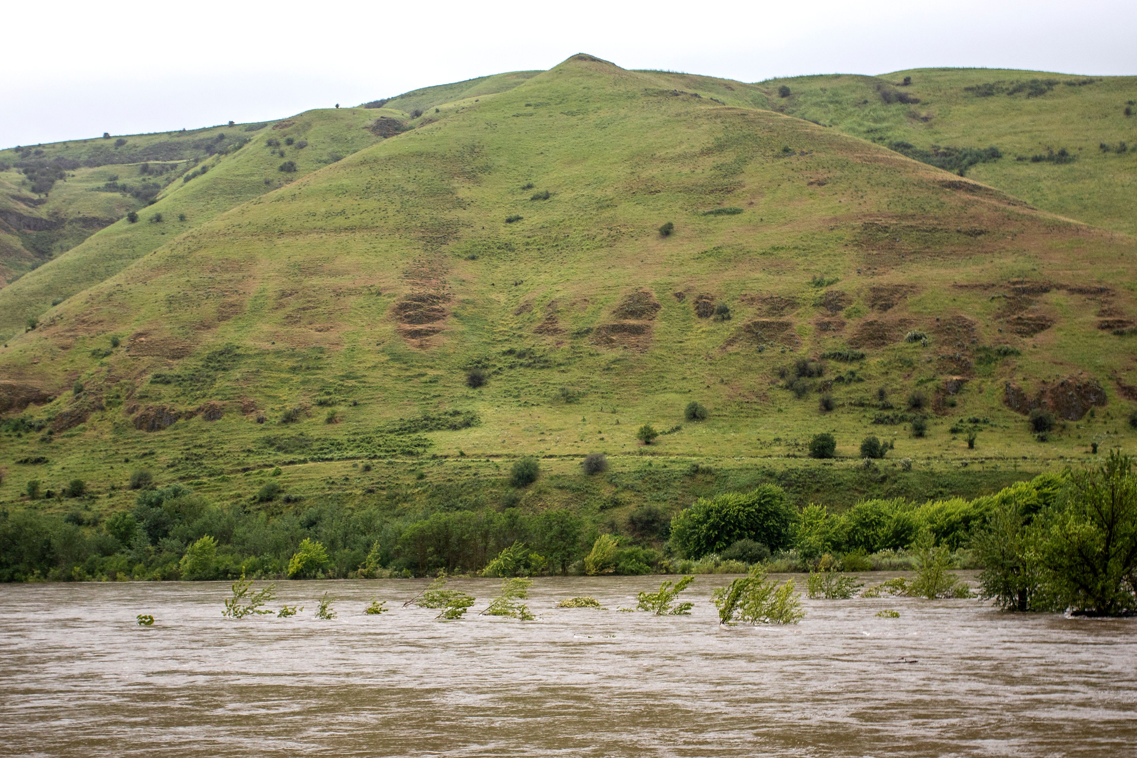
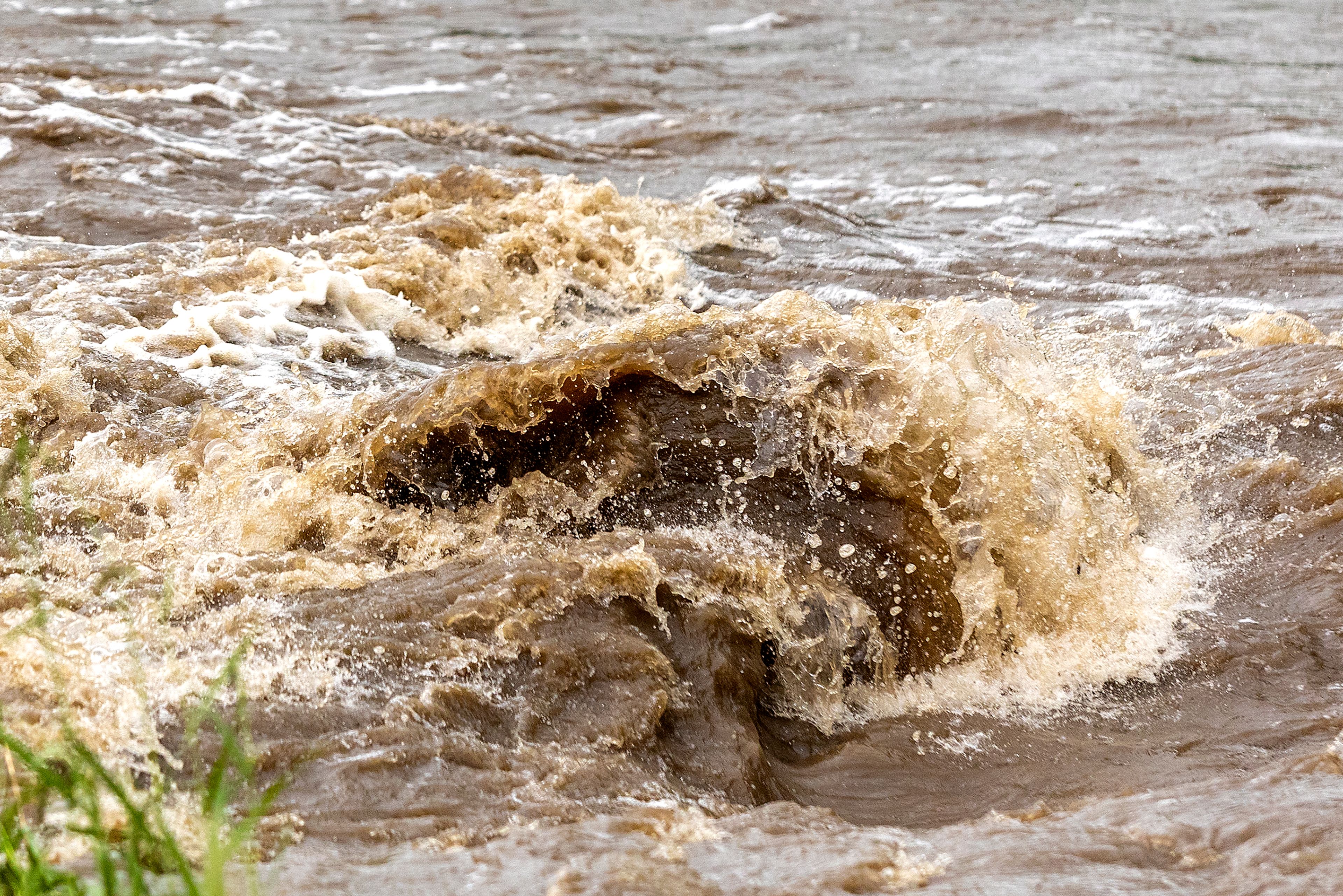
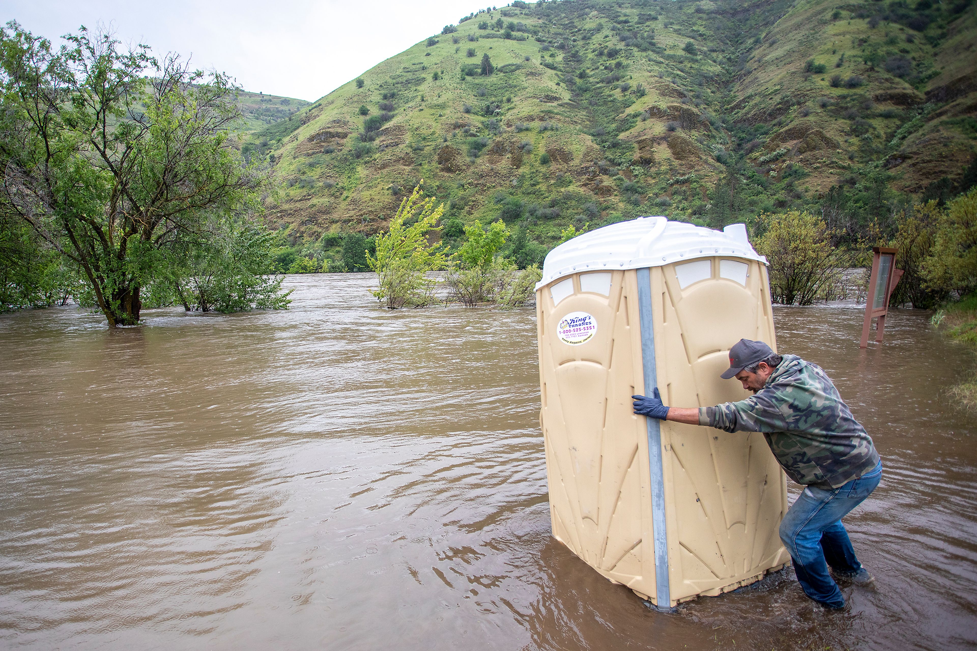
Various agencies are monitoring flooding areas because of high amounts of precipitation that fell in the region over the weekend and into Monday.
Pullman was on track to surpass its daily rain total record for June 13 as of press time, recording 0.79 inches of rain in the past 24 hours by 6:15 p.m. The record for the day is 0.47 in 1912, and with rain still falling into the evening, that number would increase by the end of the day, said Miranda Cote at the National Weather Service in Spokane. However, that 24-hour measurement can’t be accurately compared to the daily record for June 13 because the daily numbers are taken at midnight. The daily record for June 13 in Lewiston was 0.58 inches in 1913.
As of 6:15 p.m. Monday, the Lewiston area received 0.92 inches of rain in the past 24 hours, Potlatch received 1.09 inches of rain and the Kamiah area had 0.44 inches.
Cote said that there is more precipitation falling in June than usual, especially compared to last year, which is also creating high flows for rivers. Nez Perce, Latah, Benewah, Shoshone and Whitman counties are all under a flood advisory until today. There is a flood warning for the Palouse River near Potlatch through today as well. The Palouse River was at 15.8 feet at 6 p.m. Monday and the minor flood stage for the river is 15 feet. Cote said the Palouse River was forecast to be at 16 feet Monday evening, pushing it to moderate flood stage. There is also a flood warning on the south fork of the Clearwater River through this afternoon.
Lower temperatures than normal were also felt across the region. Lewiston’s high was 54 degrees, 24 degrees below normal, and Pullman’s high was 46. “Everybody was cold today,” Cote said. However, temperatures should be warming up with Lewiston heading into the upper 70s Thursday and Friday and the Palouse area hitting around 70, with a slight dip heading into the weekend.
Cote said rainy weather is expected to continue today and will dry up some Wednesday. However, showers are expected Thursday through Saturday. The National Weather Service is also keeping an eye on a thunderstorm that could bring wind, hail and heavy downpours.
“Right now, it’s a little early to know the details and the intensity, but it’s something we’re watching,” Cote said.
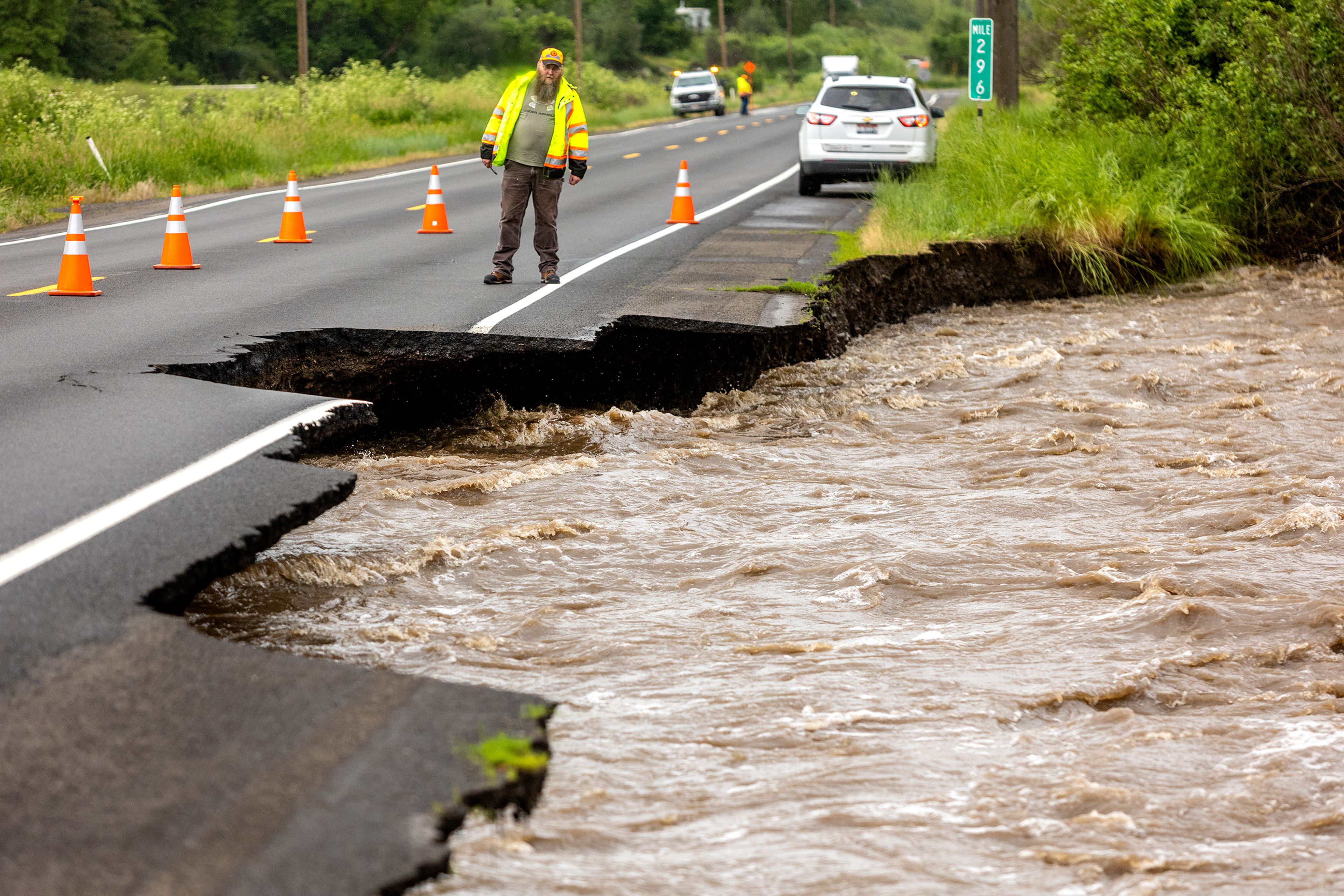
The Idaho Transportation Department closed one lane of U.S. Highway 95 four miles south of Lapwai at milepost 296 because of flooding, according to its website. Roy Hill, director of highways for Nez Perce County, reported Webb Road was closed because of flooding. Hill also said that the area of Lookout Road between Gifford and Reubens was closed with a detour to Settlement Road, and Southwick Grade near Kendrick had one lane of traffic.
“Flooding of Lapwai Creek has washed away the shoulder next to the northbound lane and may be undermining the highway,” Operations Engineer Jared Hopkins said in a statement. “Closing that portion of the roadway is necessary to ensure safety.”
Lapwai Creek was running at 2,300 cubic feet per second mid-morning Monday, and by the afternoon had dipped less than 2,000 cfs. It started Sunday at 365 cfs and peaked at 3,770 cfs at 2 a.m. Monday. The long time average for June 13 is 55 cfs. The previous maximum for June 13 was 192 cfs in 1984. The National Weather Service in Spokane noted the water levels at Lapwai Creek jumped 4 feet to about 8.5 feet earlier Monday but then receded to 6 feet. The record high was 10.2 feet in 1979.
“Until the rain stops and the creek drops, there’s nothing we can do except monitor the flooding and close the highway if necessary,” Hopkins said in a statement. “We want to put drivers on notice that we may need to shut it down.”
Hill said the Lookout Road area between Gifford and Reubens that was closed will need to be rebuilt — but to start that project, water levels need to recede enough to let crews see what’s going on. Flooding in the area started when water levels were more than what the culvert could accommodate. Flooding at Southwick Grade was undermining the road, which caused it to be reduced to one lane. However, Hill said crews were still out on roads inspecting the area and trying to keep roads open with all the rain. “Mother nature was not kind to us,” he said.
He also encouraged drivers to be careful when driving in flooded areas. “We want to urge the public to proceed with caution when there’s water over the road. Don’t drive through it because there might not be a road under you,” Hill said.
Kayeloni Scott, communications manager for the Nez Perce Tribe, said law enforcement is monitoring areas of concern like U.S. 95, Webb Road and Spalding Creek near Spalding. Scott said the region sees floods and fire seasons regularly and so they had sandbags ready and more have been ordered. There are a few residential structures that are being monitored near Spalding and sandbags will be used unless evacuations become necessary — one home on Webb Road was already evacuated.
Although nothing has happened yet, “It’s all hands on deck,” Scott said. “We have several sandbags on standby ready to deploy as needed.”
The Nez Perce Tribe is also monitoring sites in Kamiah near Tom Taha Creek, Lawyer Creek and Clear Creek. Bob West, Lewis County emergency manager, is also keeping an eye on Lawyer Creek, along with areas in Winchester, which have reported flooding. There were a few residential properties where culverts flooded into driveways, but no reports of flooded highways or landslides.
“We are keeping a close eye on everything,” he said. “Things can change moment to moment, especially Lawyer Creek.” He said a berm at Lawyer Creek is holding back water levels and has reduced flooding in the area. “So far, we’ve been really blessed to have it where it’s at,” West said.
Scott said that typically, these higher levels of rain regionally are seen in April and May, and in June the weather is starting to warm up. In 2019, flooding caused the tribe to declare an emergency — some roads in Kooskia were completely washed out and the tribe had different floods that affected the entire reservation for the first time in 200 years. This year, the impacts have been less severe so far, although the situation will be monitored throughout the night and into the morning as the tribe works with other counties.
In the city of Lewiston, Joe Kaufman, engineering project supervisor, said they monitor problem areas where flooding has been reported in the past, like areas that lack drainage in the Lewiston Orchards, the Elks addition, and localized flooding like 14th Street on Normal Hill. “Usually it’s the same places that experience trouble time and time again,” he said.
Although he said high-intensity rain for a short duration — similar to thunderstorms that happened last weekend — is more damaging than the wet weather of the past few days. That includes issues like erosion, which also creates more problems from high intensity rainfall.
When those issues do arise, Kaufman said how city crews fix it depends on the problem. It can be as simple as removing debris off a grate or as complicated as rebuilding infrastructure. He said there are many pipes that are past their life expectancy, so it’s likely there will be more failures and collapses in the future. Those areas are being watched and replaced as funds allow.
Other counties in the area, such as Idaho and Clearwater counties, reported no flooding and some minor landslides that were cleared up and didn’t close any roads.
As of 6:15 p.m. Monday, the Lewiston area received 0.92 inches of rain in the past 24 hours, Potlatch received 1.09 inches of rain and the Kamiah area had 0.44 inches. However, that 24-hour measurement can’t be accurately compared to the daily record for June 13 because the daily numbers are taken at midnight. The daily record for June 13 in Lewiston was 0.58 inches in 1913, according to Miranda Cote at the National Weather Service in Spokane.
However, Pullman is on track to surpass the daily record. Pullman received 0.79 inches of rain for the day by 6:15 p.m. and the record is 0.47 for June 13 in 1912, and with rain still falling into the evening, that number would increase by the end of the day.
Cote said that there is more precipitation falling in June than usual, especially compared to last year, which is also creating high flows for rivers. Nez Perce, Latah, Benewah, Shoshone and Whitman counties are all under a flood advisory until today. There is a flood warning for the Palouse River near Potlatch through today as well. The Palouse River was at 15.8 feet at 6 p.m. Monday and the minor flood stage for the river is 15 feet. Cote said the Palouse River was forecast to be at 16 feet Monday evening, pushing it to moderate flood stage. There is also a flood warning on the south fork of the Clearwater River through this afternoon.
Lower temperatures than normal were also felt across the region. Lewiston’s high was 54 degrees, 24 degrees below normal, and Pullman’s high was 46. “Everybody was cold today,” Cote said. However, temperatures should be warming up with Lewiston heading into the upper 70s Thursday and Friday and the Palouse area hitting around 70, with a slight dip heading into the weekend.
Cote said rainy weather is expected to continue today and will dry up some Wednesday. However, showers are expected Thursday through Saturday. The National Weather Service is also keeping an eye on a thunderstorm that could bring wind, hail and heavy downpours.
“Right now, it’s a little early to know the details and the intensity, but it’s something we’re watching,” Cote said.
Brewster may be contacted at kbrewster@lmtribune.com or at (208) 848-2297.
