Smoke from fires billowing across region
Smoke from the Snake River Complex Fire, about 20 miles south of Lewiston, and the Dry Gulch Fire, west of Clarkston in rural Asotin County, is billowing into the Lewiston-Clarkston Valley and beyond.
Here’s the latest updates on fires compiled by the Lewiston Tribune, as of 9 p.m. Sunday:
Firefighting resources continue to arrive on the Nez Perce-Clearwater National Forests to assist with the growing fires in the area. The majority of existing wildfires in the forest grew over the weekend despite ground and aerial firefighting efforts, officials said.
Fire crews and residents are witnessing extreme fire behavior that is inconsistent with previous years in northern Idaho. The wildfire season is four to six weeks earlier this year than usual and fire suppression tactics that are usually implemented are not proving to be successful, in part because of historic drought the area is experiencing, according to a news release.
Information on emerging incidents will be released on Nez Perce-Clearwater National Forests’ website and social media accounts as it becomes available.
Palouse Ranger District: McManus Type 3 Incident Management Organization is managing the Leland Complex. The Sand Mountain Fire is part of that complex and experienced significant fire behavior yesterday.
The Johnson Creek Fire is also burning on the Palouse Ranger District, north of Elk River in the Upper Basin. Estimated at 60 acres, the fire is burning in heavy dead and down timber limiting safe access for firefighting resources. Firefighters will continue to scout areas where they can have success at minimizing the spread of the fire. Structure protection and securing a communication site near the fire’s perimeter were fire managers’ top priorities Sunday.
Red River Ranger District: Northern Rockies Type 1 Incident Management Team is managing the Dixie and the Jumbo fires, located approximately 40 miles southeast of Grangeville and 15 miles south of Elk City near the community of Dixie. Two good sources of updates can be found at nciweb.nwcg.gov and the Nez Perce-Clearwater National Forests Facebook Page: @NPClwNFs.
Lochsa Ranger District: The Snow Fire located 15 miles east-northeast of Kamiah is approximately 130 acres. Firefighting resources are utilizing equipment to moderate fire spread along the west side of the fire where there are structures and private lands. One additional priority of the Snow fire is to protect headwaters of Lolo Creek.
The Lolo and the Opal fires are located near the junction of Forest Service Road 100 and FSR 500, near the Lolo Creek Campground. Firefighters have successfully contained these fires and are transitioning to mop-up stages of the fire response.
The Siberia fire is approximately two to three acres and is located near Beaver Dam Saddle near FSR 103. Additional firefighting resources are arriving on the Lochsa-Powell Ranger District to assist with these ongoing fires and a base camp has been set up at the Musselshell Work Center.
Powell Ranger District: The BM Hill fire is approximately 400 acres and located ten miles north of Powell Junction. It continues to burn actively in heavy brush and timber. Firefighters are completing structure protection efforts in the Granite Pass area in the event the fire would progress in that direction. Motorists on U.S. Highway 12 are urged to use caution while traveling this route because of changing conditions. Closure information is available at www.fs.usda.gov/lolo.
Two additional fires are located near Powell Junction. The Shotgun Fire is approximately 26 acres and located seven miles north of the junction. The Storm Fire is approximately 515 acres and located eight miles southeast of the junction. More information will be released on these two fires as it becomes available.
The Lolo Creek Fire is located on the Lolo National Forest between mile marker one and two on U.S. Highway 12, approximately one mile west of U.S. Highway 12 and one and a half miles northwest of the Lolo Pass Visitor Center. The Lolo Pass Visitor Center is currently closed because of fire danger and may reopen on Wednesday, depending on conditions. Please follow the Lolo National Forest for updates: https://www.facebook.com/lolonationalforest.
North Fork Ranger District: The Independence Fire is located 30 miles southwest of Superior, Mont., in Clearwater County, and is actively burning in brush and timber. Firefighters continue to build firelines to reduce the chance of the fire moving into the private structures in the Deception Saddle area. They will assess structure protection opportunities where they have the highest probability of success. The fire is approximately 18 acres.
Additionally, Northern Rockies Type 2 Incident Management Team is managing multiple fires under the Cougar Rock Complex. Fire-related closure orders are in effect across the Nez Perce-Clearwater National Forests. Closure information is available online at www.fs.usda.gov/alerts/nezperceclearwater/alerts-notices. Temporary flight restrictions are in place over fire areas for the safety of the public and aerial firefighting resources.
Officials are encouraging residents to check for updated information on emerging fires on the Nez Perce-Clearwater National Forests website (https://bit.ly/NPCFireInfo), on social media at www.facebook.com/NPClwNFs and www.twitter.com/NPClwNFs.
Fire crews are camped near Lincoln Middle School and the Asotin County Fire District in the Clarkston Heights. They are battling the Dry Gulch fire, which is burning near Cloverland and Harlow Ridge and into Garfield County.
A shelter for evacuated residents has been set up at Echo Hills Church in Lewiston. Incident commanders have set up a Facebook page for the Dry Gulch Fire to inform the public about the latest road closures and levels of evacuation, along with maps of the areas affected.
Hot and dry conditions are expected to continue through Wednesday, according to the National Weather Service in Spokane.
The Lolo Pass Visitor Center is closed because of wildfires, and U.S. Highway 12 is temporarily closed at the Montana state line. Motorists are encouraged to stay away from the area and check 511.Idaho.gov for current road conditions.
Hundreds of federal, state and local firefighters are battling numerous wildfires burning throughout north central Idaho and southeastern Washington.
Hundreds of federal, state and local firefighters continue to battle numerous wildfires burning throughout north central Idaho and southeastern Washington on Sunday. Officials said this fire season is shaping up to be a “marathon, not a sprint.”
The Snake River Complex Fire, about 20 miles south of Lewiston, is now estimated at 54,407 acres with zero percent containment. The fire is comprised of the Hoover Ridge Fire, and the Captain John and Shovel Creek fires, which have now joined together.
A public meeting tonight is scheduled for 7 p.m. Sunday at the old Lewiston High School at 1114 Ninth Ave. in Lewiston.
On Saturday, fire activity was high, and firefighters, heavy equipment and aviation operations worked hard to establish control lines around the north end of the Shovel Creek Fire and Hoover Ridge Fire to prevent those from spreading toward the communities of Waha and Forest. Night operations involved active firefighting and structure protection in the Waha and Redbird areas.
In addition, there was increased fire activity yesterday afternoon near Zaza Road and new evacuation orders were issued by the Lewis County Sheriff’s Office. Crews worked to secure the east flank of the Hoover Ridge Fire, as well as point protection along the Snake River.
Resources are slowly becoming available, officials said Sunday. Firefighters and heavy equipment will continue to work on high priority areas and point protection, focusing on the northern fire perimeter and along the Snake River as the fire moves north, and in the Wapshilla Creek area.
Today will be hot and dry with a dry cold front moving through the area in the afternoon, potentially shifting winds from the west to the northwest, pushing the smoke to the south and allowing increased air operation activity.
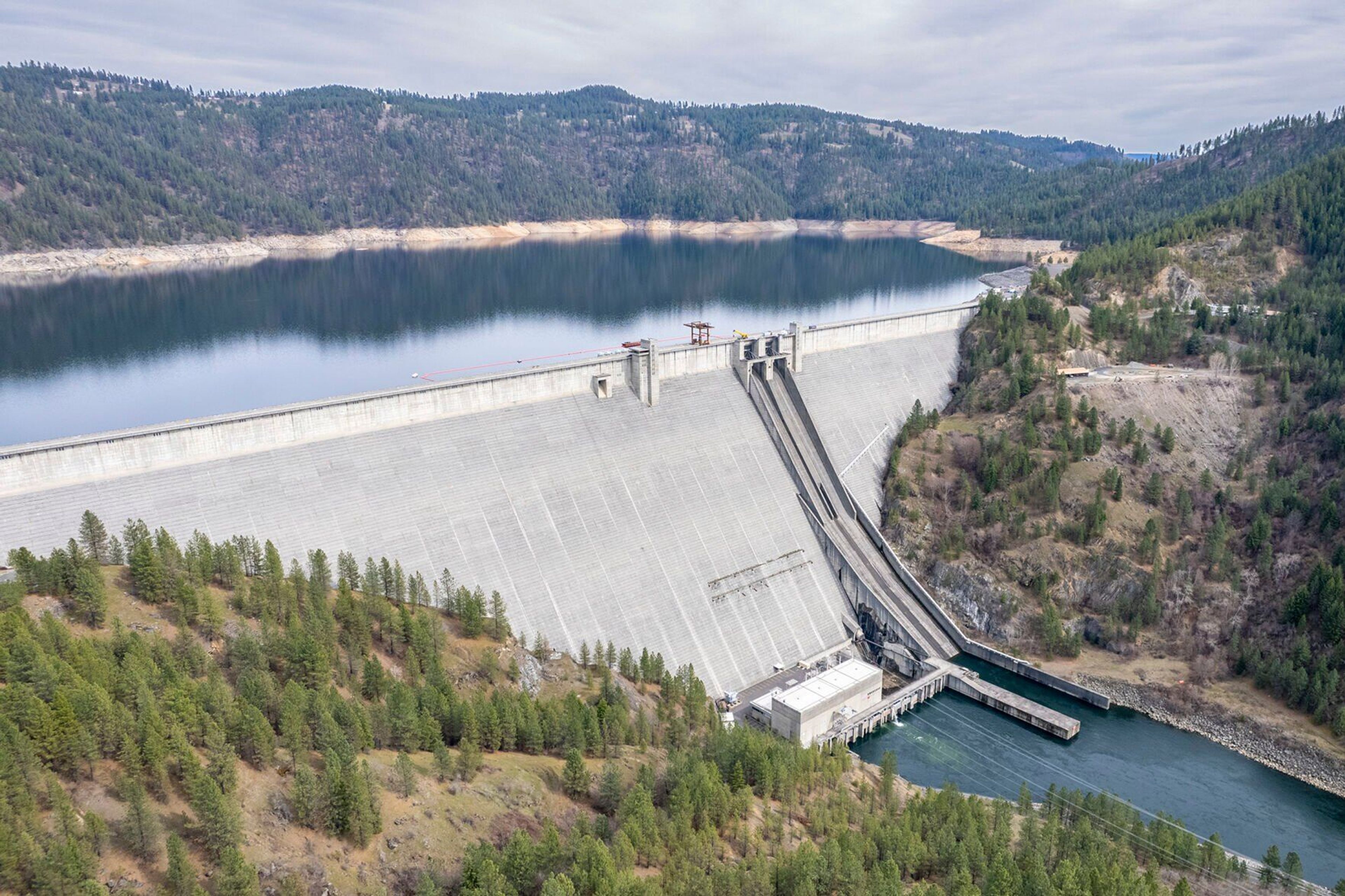
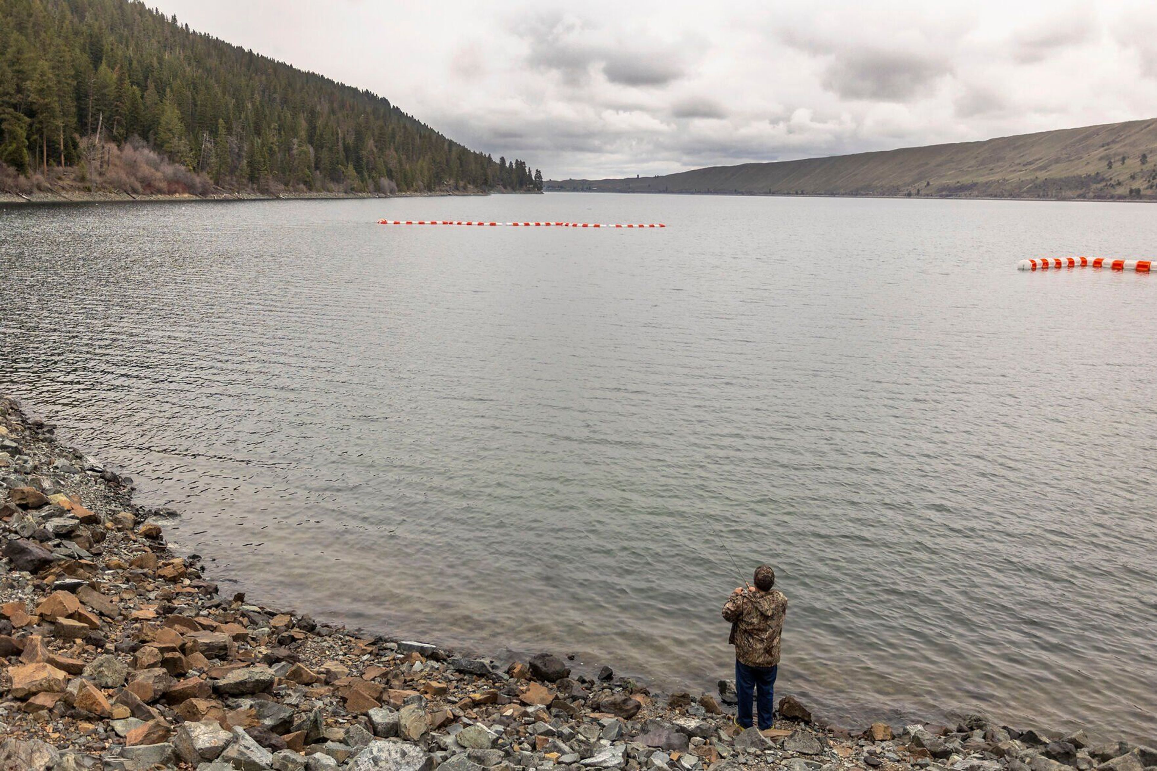
To facilitate safe air operations, boaters are being asked to avoid the Lower Snake River between Heller Bar and Sandal Gulch. If you are on the river, it is advised to take out at Heller Bar to allow aircraft to work safely. Boaters are asked to not disrupt the aircraft operation and avoid upstream jetboat travel into the area, officials said.
Evacuation orders have been issued for homes along the Snake River and for residents on Zaza Road, north of Soldier Meadow and west of Waha Road, including Redbird and Waha Lake, as well as for residents of the Deer Creek area, the community of Forest, and north of Hoover Ridge. Current evacuation and closure information is on Lewis and Nez Perce County sheriff’s offices webpages.
The Dry Gulch Fire in rural Asotin County gained more than 8,000 acres during the night. All significant growth has been to the west and south as the fire moves into increasingly rugged terrain and heavy fuels. More than 46,000 acres have been burned to date and the fire is estimated to be 20 percent contained.
An expansion to the south in the Harlow Ridge area required additional residential evacuations on Saturday night. Firefighters are establishing protection measures for threatened structures, including sprinkling systems and removing adjacent fuels.
Today firefighters may conduct strategic firing operations along the western and southern flanks of the fire if weather and burning conditions are appropriate. Area closure and fire perimeter maps are posted on Inciweb at https://inciweb.nwcg.gov/incident/7615.
The American Red Cross shelter in Clarkston has moved to Echo Hills Church, 3215 Echo Hills Drive, in Lewiston, and the phone number for help is (509) 508-1299.
The Dixie and Jumbo fires in remote Idaho County have the "potential for extreme fire behavior" today as an inversion layer dissipates, according to a new release today.
The Dixie Fire now measures 13,873 acres. Along the southern end of the fire, firefighters are positioning equipment near structures and areas of high value along the Salmon River corridor (including Mackey Bar, Jim Moore, Whitewater Ranch, Yellow Pine, and Allison Ranch). The fire is continuing to back down toward the Salmon River and boaters should be alert for rolling rocks and other debris.
In the communities of Dixie and Comstock, firefighters are continuing to focus on structure protection and line construction along FS road 222. Starting tonight, there will be a night shift on the western edge of the fire. Their primary mission is structure protection and patrol. Additional resources have been ordered.
The Jumbo Fire is located west of the Dixie Fire and is at 827 acres. The fire is staffed with smokejumpers who will be evaluating the fire and focusing on structure protection and fuel mitigation in Concord Hill and Jumbo Camp. The Jumbo Fire also threatens the communities of Dixie and Comstock, as well as structures in the surrounding area. Air operations is flying in supplies and additional resources have been ordered for this fire.
The Cougar Rock Complex Fire, in the vicinity of the Little North Fork of the Clearwater River in north central Idaho, is burning in remote locations with difficult access, steep terrain and fuels that range from slash to old growth, officials said Sunday morning. No structures are currently threatened.
Because of better mapping of the fire perimeter and ground intelligence, the size of the fire has been reduced to 1,627 acres. Crews made good progress over the weekend, officials said in a news release.
Firefighters are taking advantage of roads, topographic features and fuel patterns to refine their fire suppression plans. Given the long, dry summer that’s expected in the Inland Northwest, officials strongly encourage residents to take steps to reduce fuels around their homes. Assistance with specific fuel reduction techniques can be found at www.nfpa.org/Public-Education/Fire-causes-and-risks/Wildfire/Firewise-USA.